customizable and efficient solution for processing your geospatial data

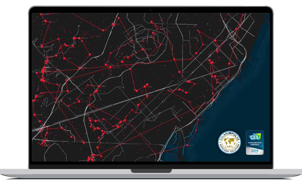
GéoCassini obtained the “Solar Impulse Efficient Solution” label in February 2021.
The Foundation's objective is to bridge the gap between ecology and the economy by reducing our impact on the environment while promoting economic development.
Our solutions
The only 100% web-based platform accessible in SaaS mode dedicated to the storage, management, operation, updating and exchange of all your data describing the space and its contents.
X&Y
Propose your own solution to the e-Cassini community
GéoStore allows you to publish data produced and/or stored in the Database. The publication includes the traceability elements entered during upload and allows you to contact the owner of this data.
The platform for managing your
geospatial data for all your projects
GeoCassini is the only 100% web-based platform accessible in SaaS mode dedicated to the storage, management, operation, updating and exchange of all your data describing the space and its contents.
Revolutionize your data acquisition
Geospatial data acquisition plays a vital role in numerous fields, including mapping, natural resource management, navigation, urban planning, and many others.
These modern approaches provide more accurate, responsive, and actionable information, paving the way for innovative applications and a deeper understanding of your geographic environment.
Expert testimonies
We believe in the importance of sharing experiences and expertise.
Our talented experts are the heart of our success, bringing unparalleled expertise in their respective fields. Discover below what our experts have to say about their experience at e-Cassini , the challenges they have overcome, and the achievements that make our team a leader in the industry.
EXPERTS
Our News
They trust
We believe in the power of collaboration. By working in partnership with our clients, we co-create tailor-made solutions that generate tangible and lasting results.
Data locations

geospatial under
GeoCassini
Geospatial data locations under GeoCassini
The GeoCassini platform was born, with its all-in-one approach, to manage and exploit your geospatial data, to combine several files into projects and to allow all stakeholders in a project to view and modify this data.


